HIGH PEAK RAILWAY WALKS
(From a walks on Tuesday 29th of May & 26th of June 2012)
(Updated June 2016) (Updated June 2017). Update May 2018).
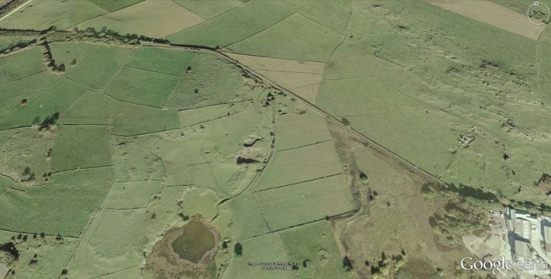
HOPTON TO LONGCLIFFE
This turned out to be quite a fair walk. As usual I had to take the train from home to Whatstandwell. Arriving there at 09.20 then walking via the Cromford Canal to High Peak Goods. From here I walked
the three gradients, Sheep Pasture Bottom to Middleton Top then started over fresh ground via Hopton Incline and stopping just short of Longcliffe. I had run out of time and had to return by 13.00 so
that I could get back to Whatstandwell for the 17.46 to Derby and arriving back home again at 21.30. If I had gone onto Longcliffe. I would not have got back home that same day. It isn't easy finding a
B&B, Guest House or Hotel in this rather sparse, if beautiful area.
On the 26th June I returned for another walk, this time not stopping, except very briefly at High Peak Goods, Sheep Pasture, Middleton Top and Hopton. This allowed me to have the time to reach Longcliff
and be able to return back to Whastandwell for my train homwards. It was a long walk but which I enjoyed very much. The day was dull but warm. The disappointment was it started raining quite heavily
I approached Longcliff and that reduced the amount of time I spent there. It rained off and on during my walk back to Whatstandwell.
This is definitely the farthest point I can reach without finding somewhere to stay in the area. I am hoping to be able to do this later this year or most definitely a plan for next year.
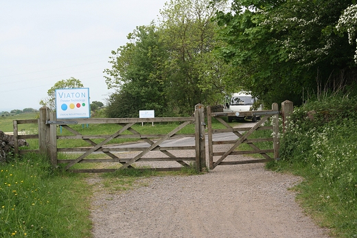
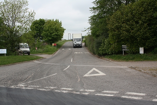
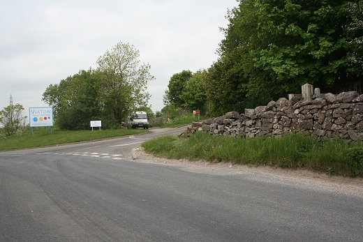
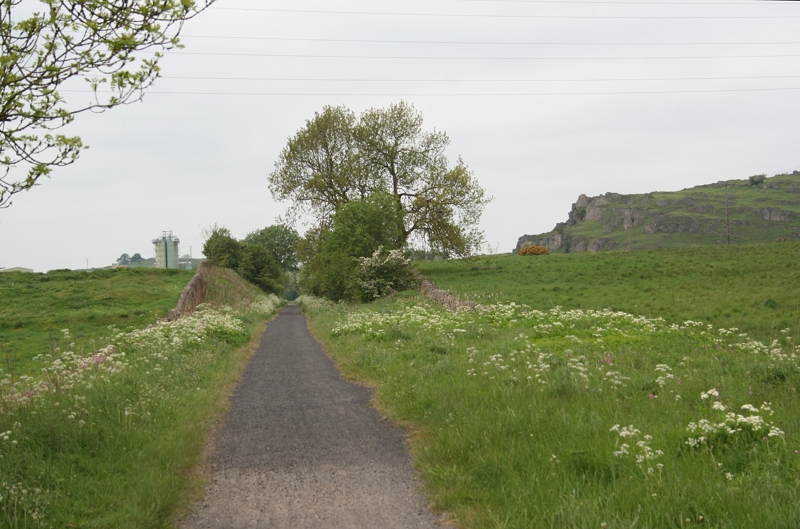
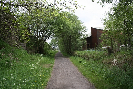
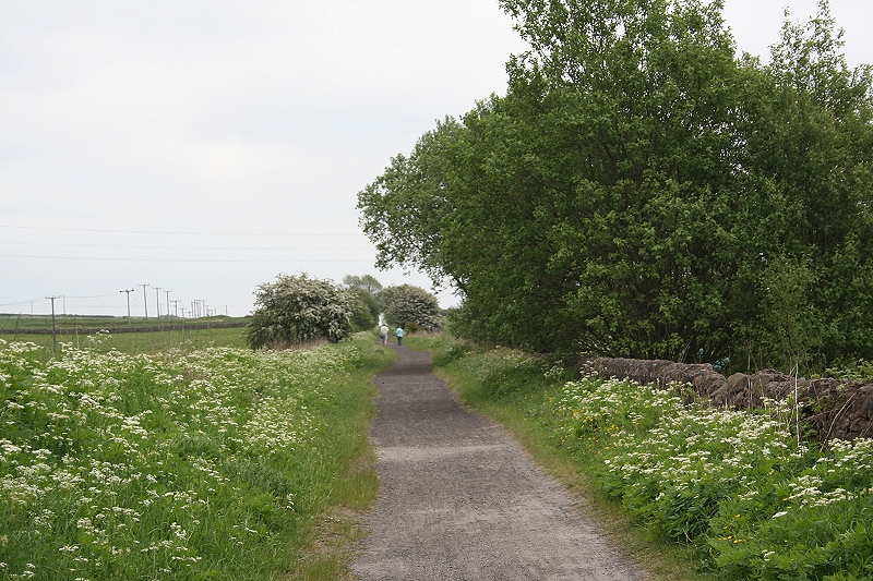
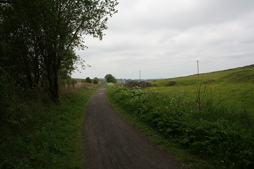
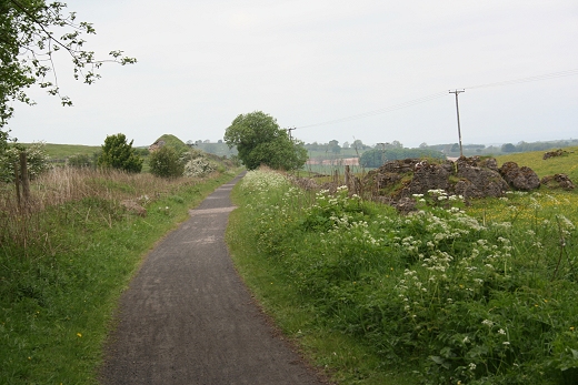
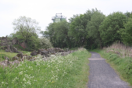
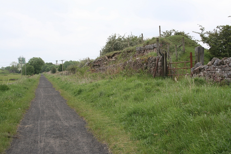
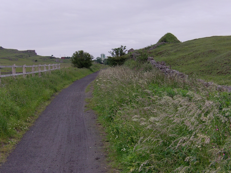
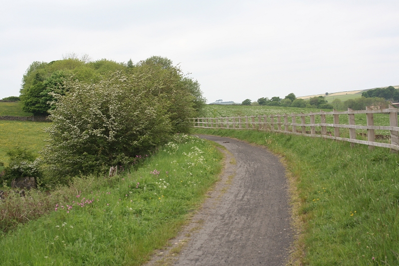
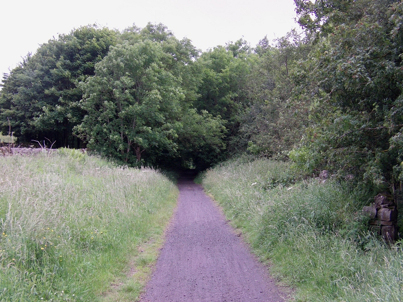
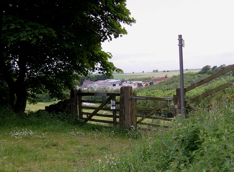
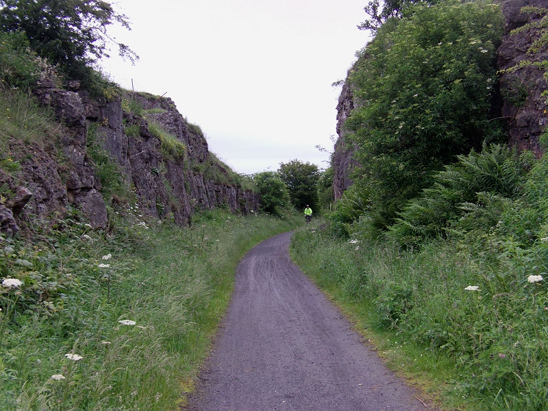
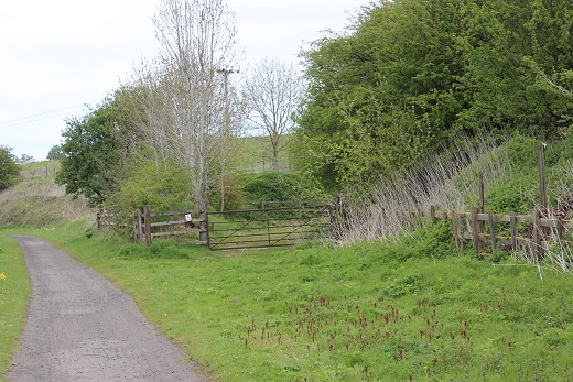
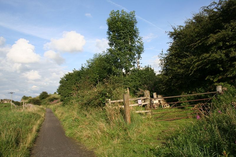
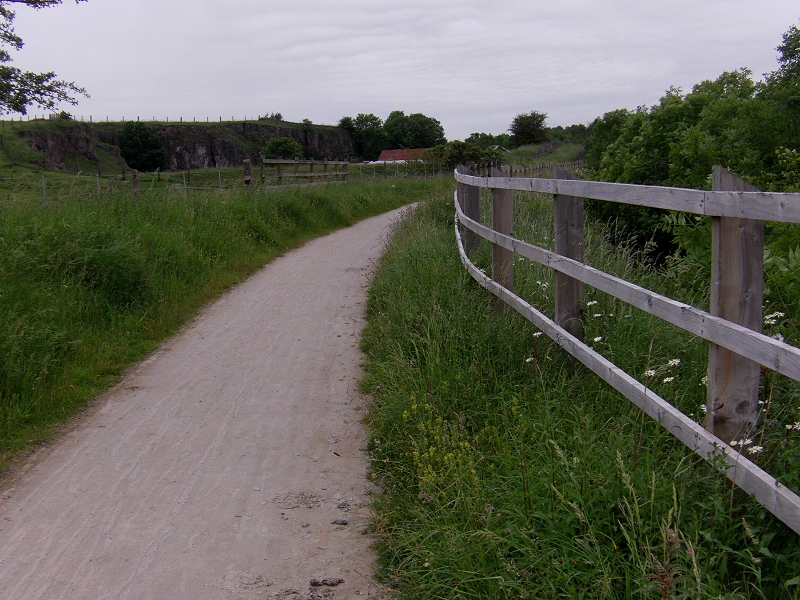
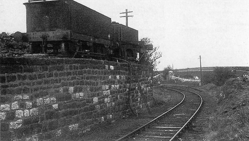
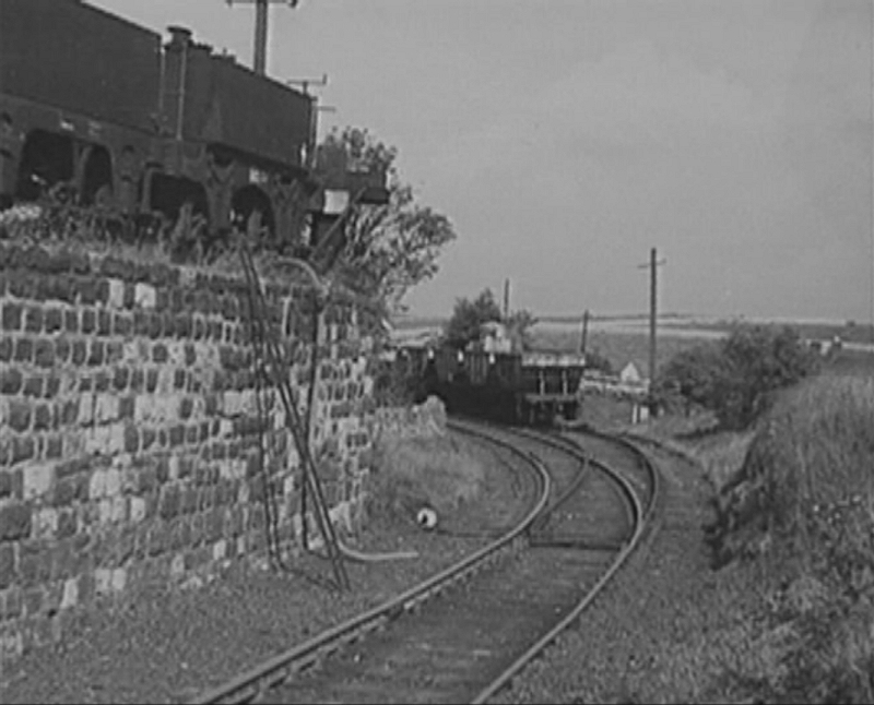
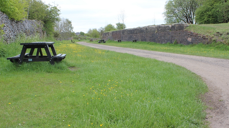
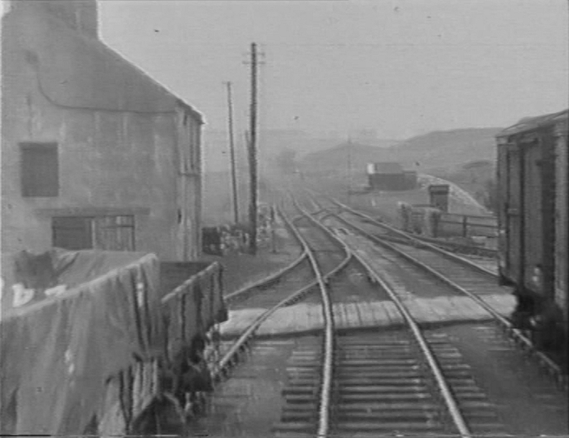
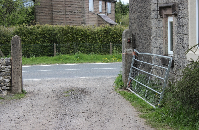
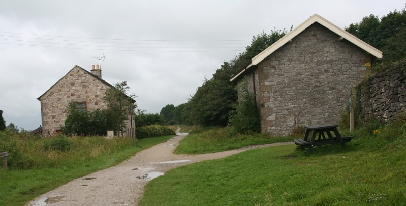
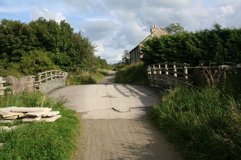
This section continues from Hopton Level Crossing at the north end of the station site and towards Longcliffe.......
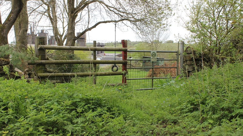
Hopton Level Crossing site. Left: Towards Longcliffe. Right: Ex Crossing towards Hopton.
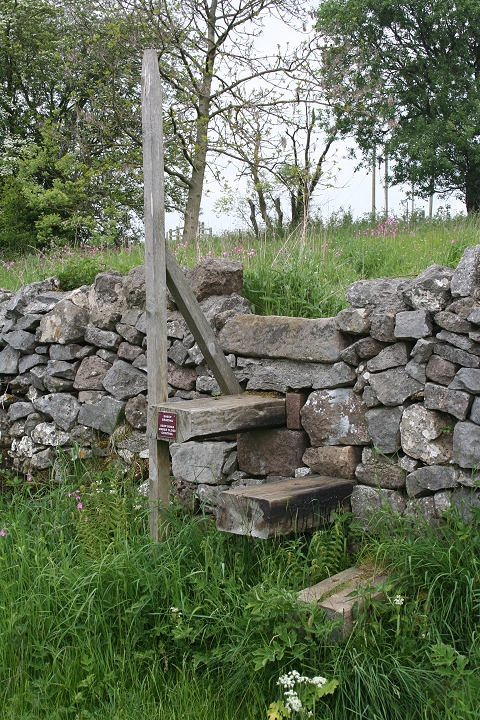
Steps formed from sleepers.
======================================================
UPDATE 29th MAY 2018
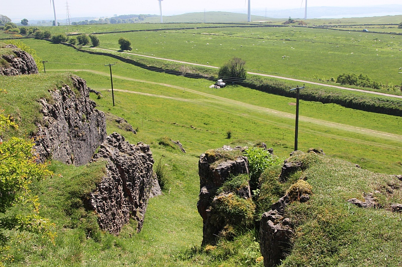
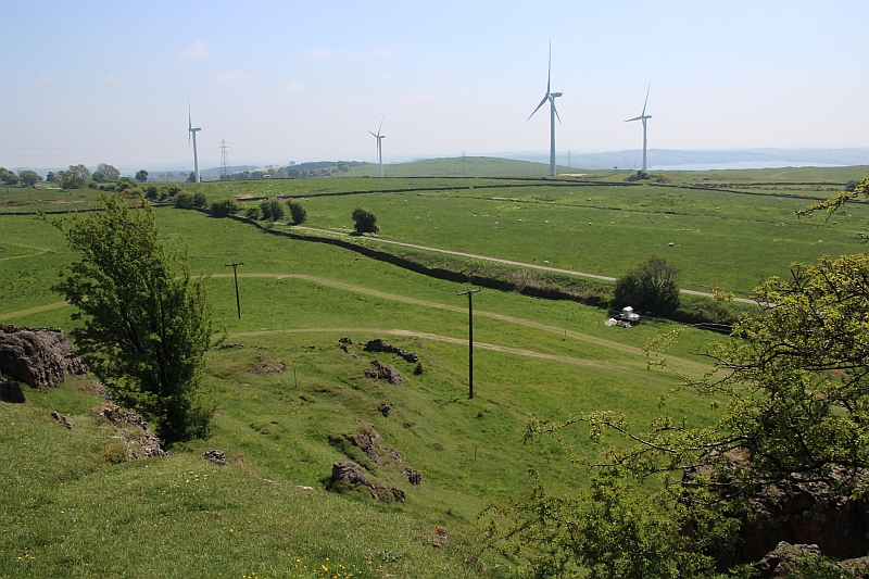
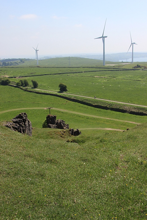
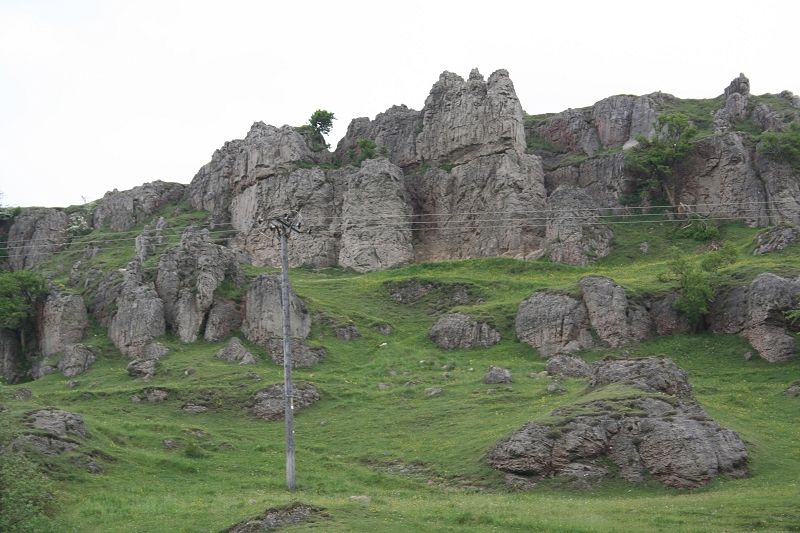
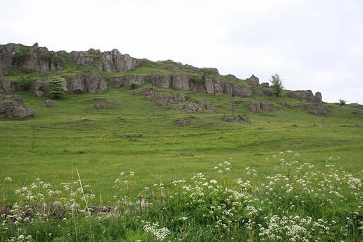
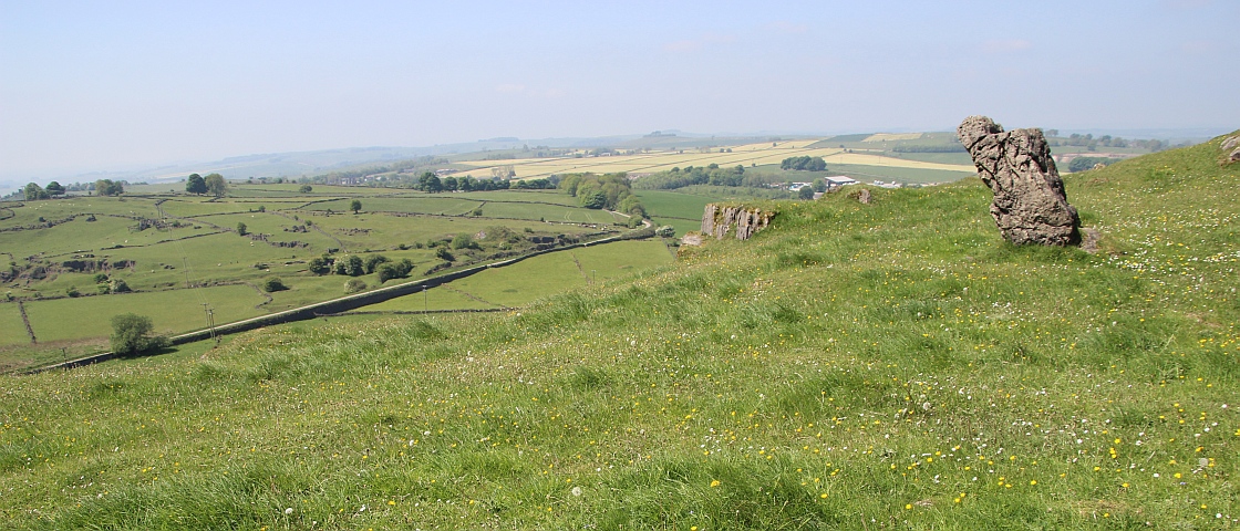
Three views from Harboro Rocks summit. The track bed coming in from Hopton and approaching the Refactory Works.
=======================================================================
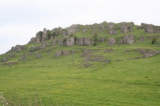
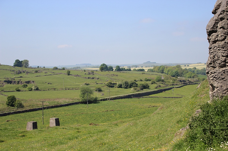
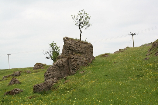
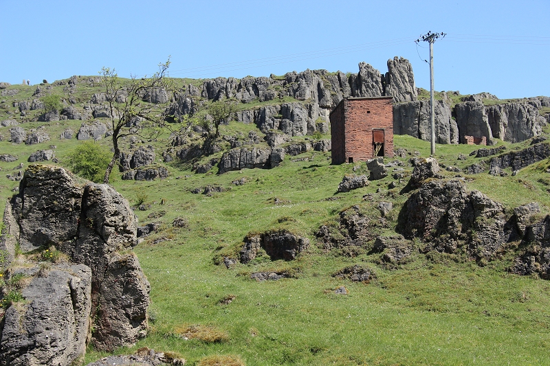
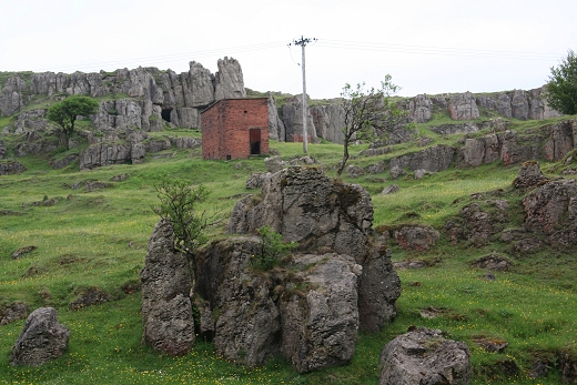
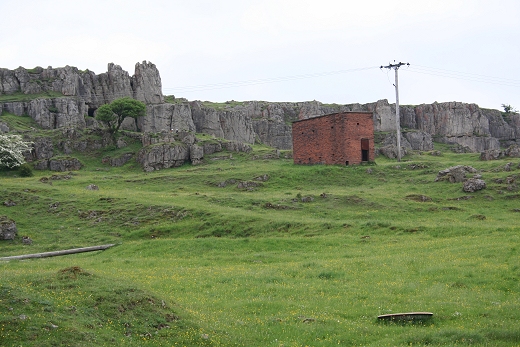
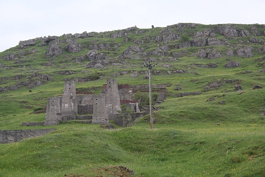
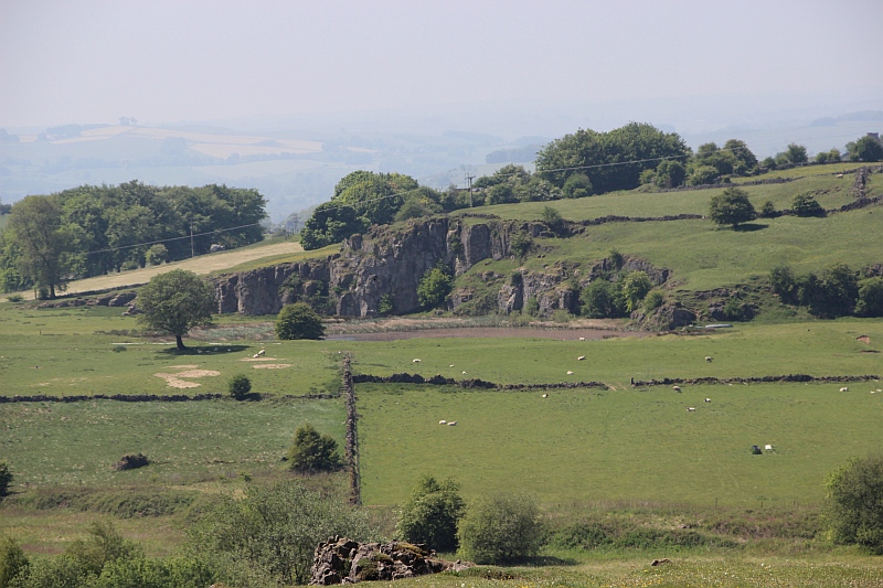
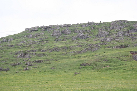
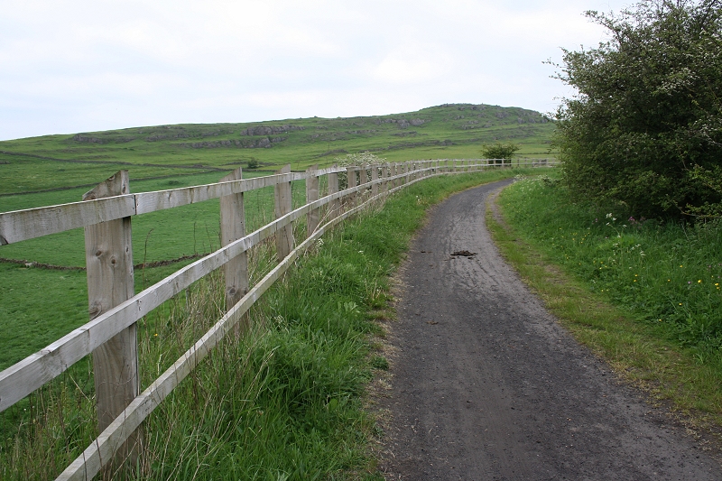
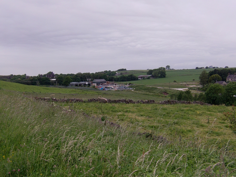
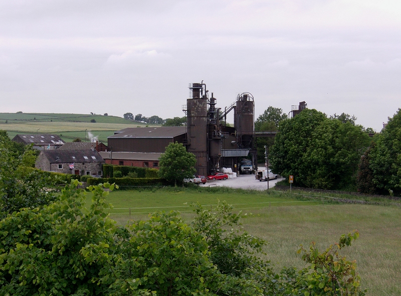
Beyond Hopton the Harboro Rocks and the works at Manystones come into sight.
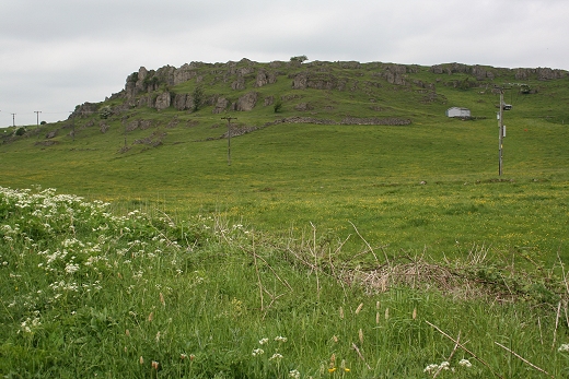
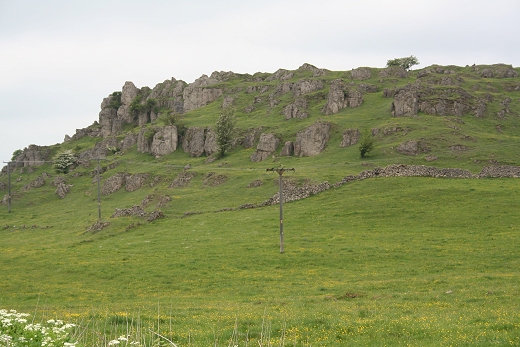
This reminds me of the Quaraing Mountains on the Isle Of Skye
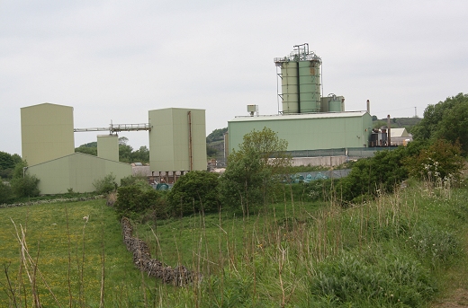
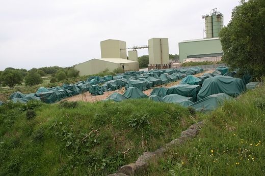
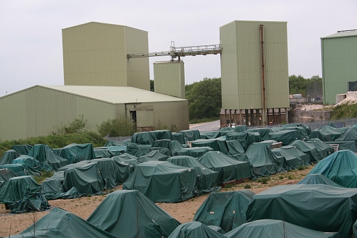
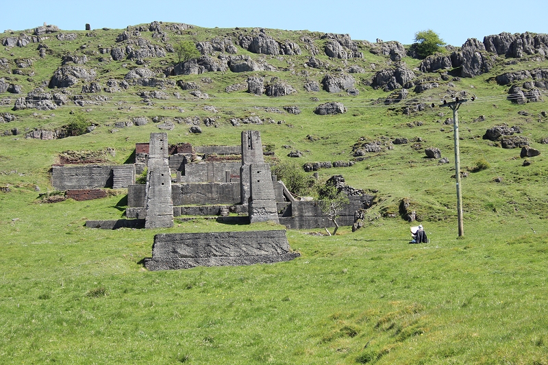
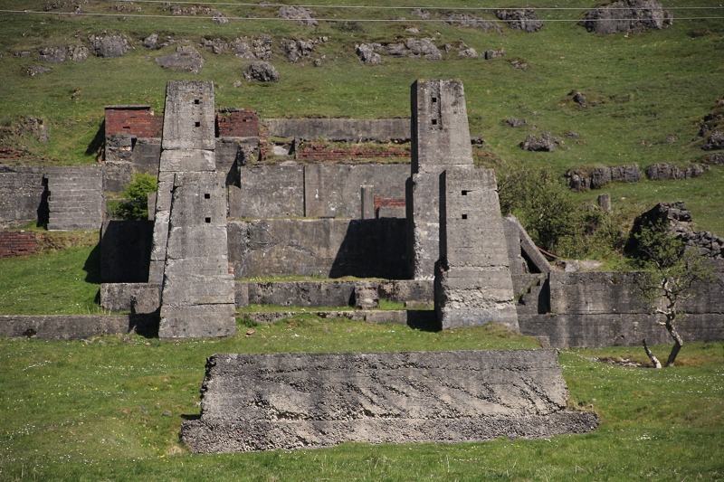
The Refractory works at Manystones
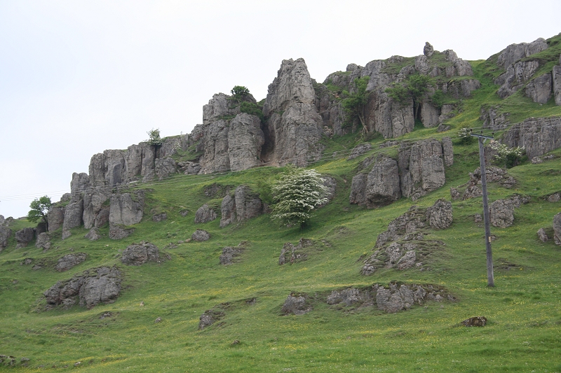
A rock climber's dream.
10th May 2017. Artist painting/sketching the mine shafts.
The Mine Shafts. 10th May 2017.
=================================================================================
A wide angle views over looking the mine shafts from Harboro Rocks summit. 29th May 2018.
===========================================================================
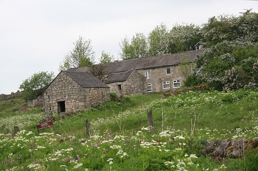
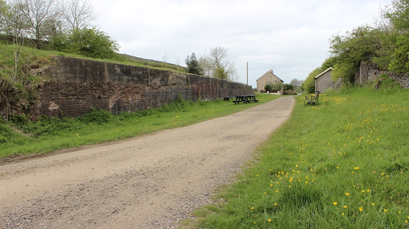
The farm on the right was served by the C&HP Railway
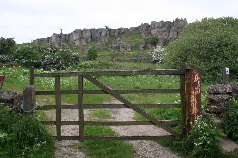
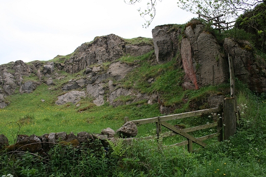
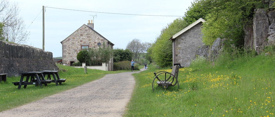
Ex Farm Crossing gate. You can wander around Manystones from here. It can be a dangerous place.
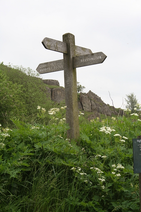
The way sign at Manystones
 g
g
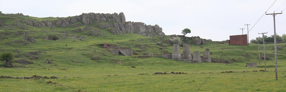
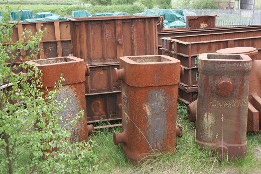
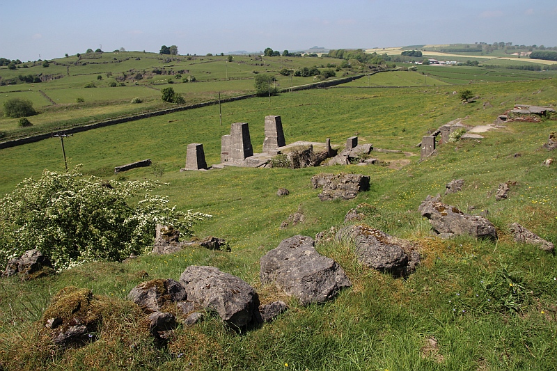
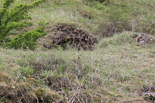
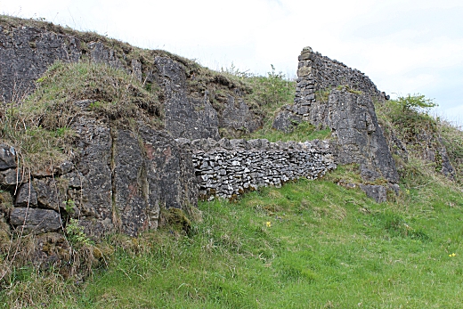
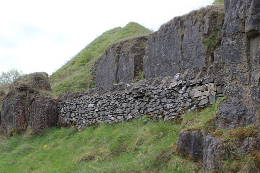
The site included a number of mines, which these ruins represent.
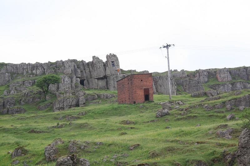
Rock climbers enjoying the rocks.
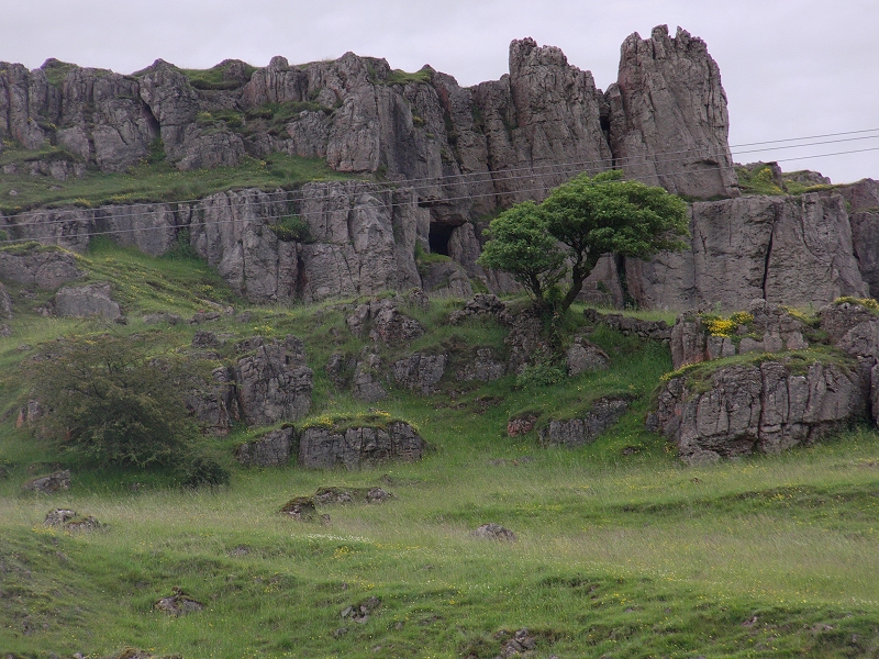
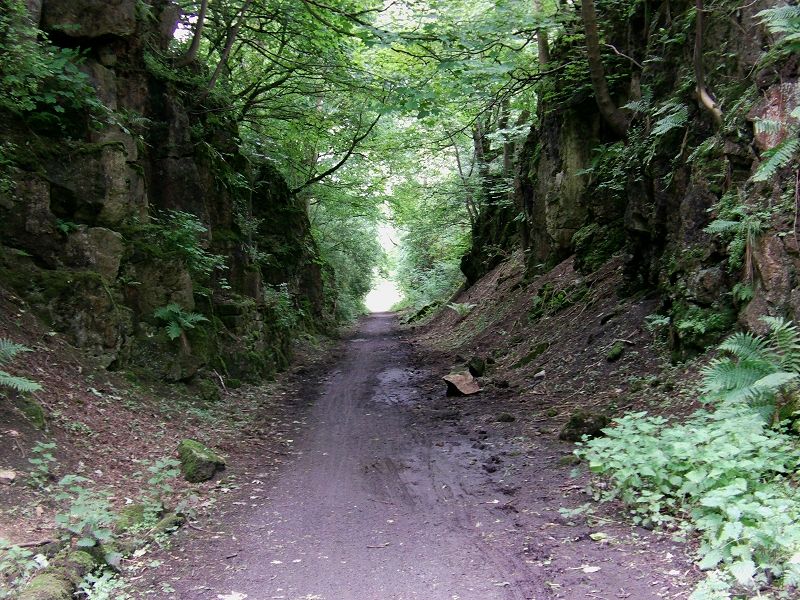
A cave in the rocks. 26th June 2012.

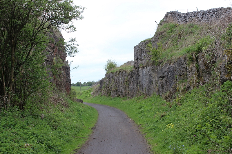
Pastrel scenes. The small quarry which was linked just to the north of Hopton.
The quarry as seen from the summit of Harboro Rocks. 29th. May 2018. Cropped from an image at full 200mm zoom setting.
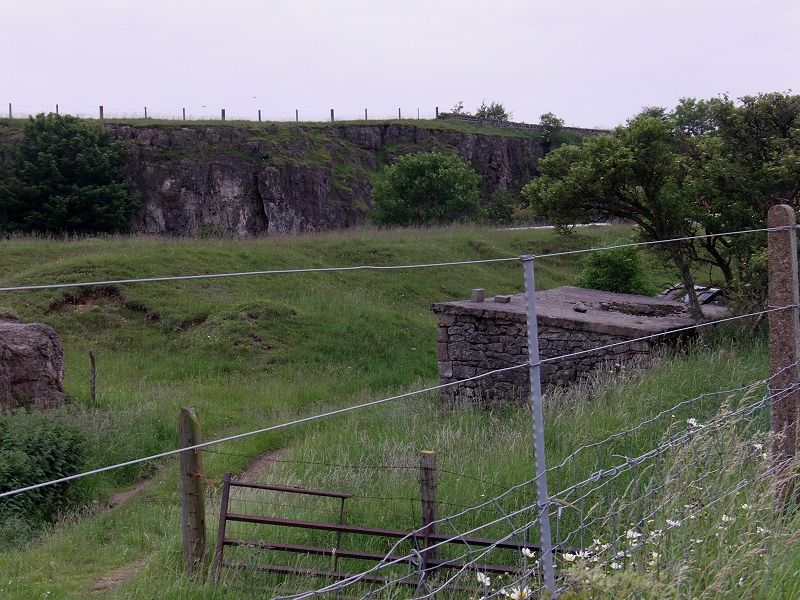
The quarry is full of water. The spur cutting runs off to the right.
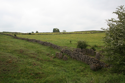
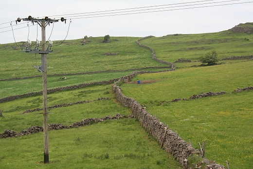
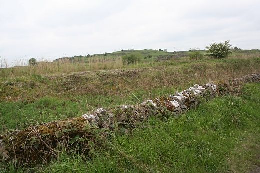
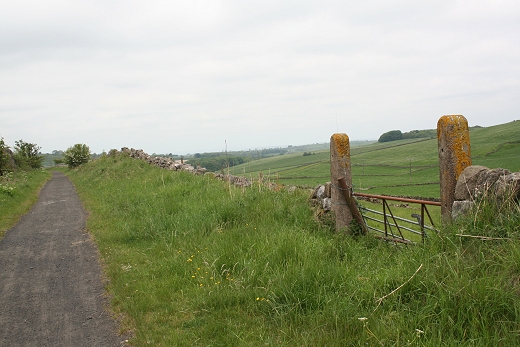
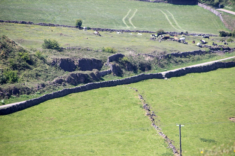
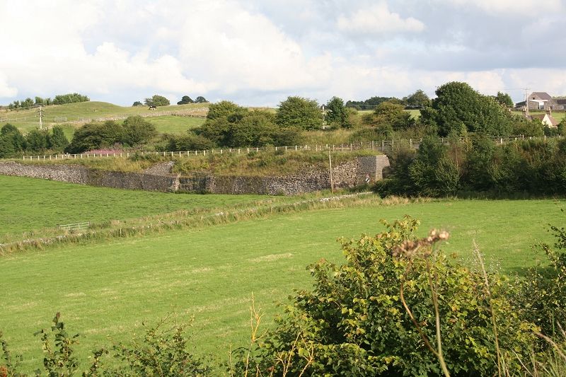
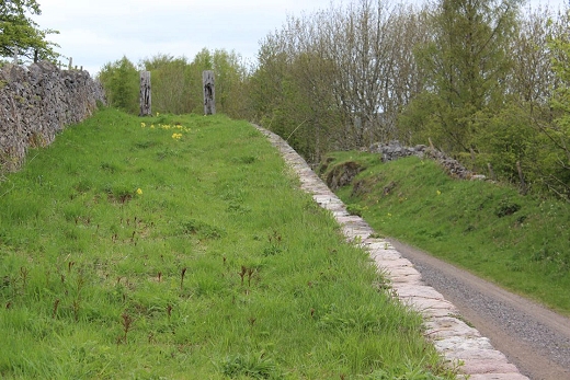
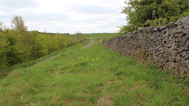
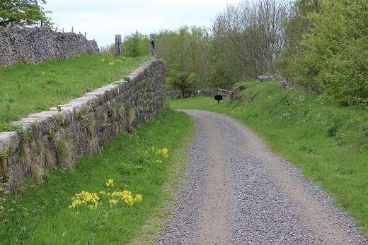
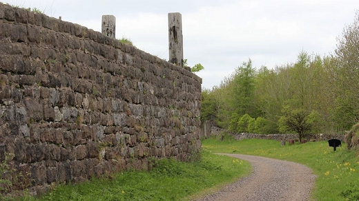
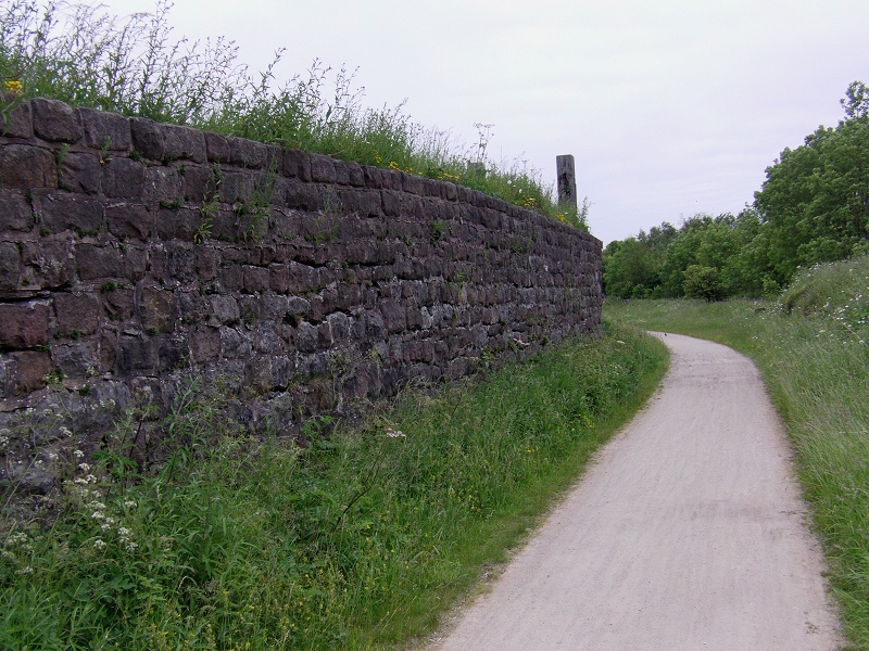
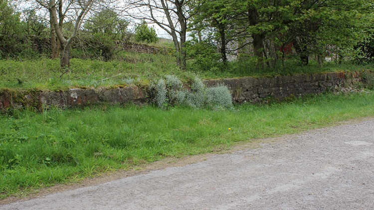
Typical Derbyshire dry stone walls stretch into the distance.
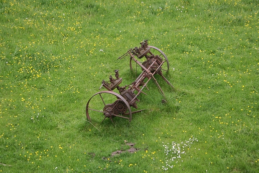
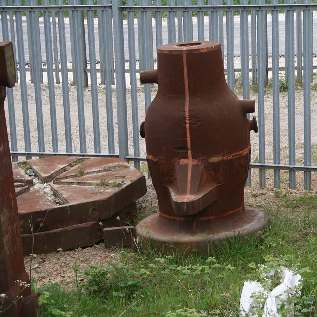
An old farm implement, below the railway embankment
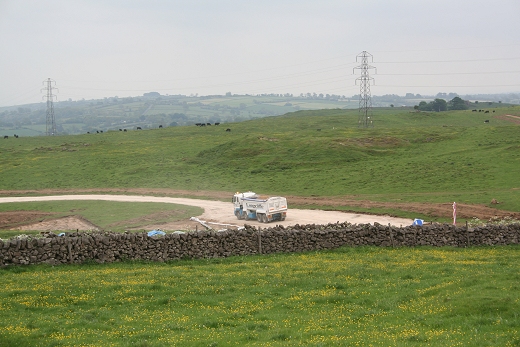
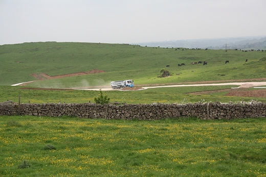
A dust road appears to be being built to this site. Industrial activity continues in the area.
Left: Remains of the isolated quarry branch. Right: Looking back towards the refractory works.
The isolated branch must have had loading and unloading facilities for wagons on the C&HP line!
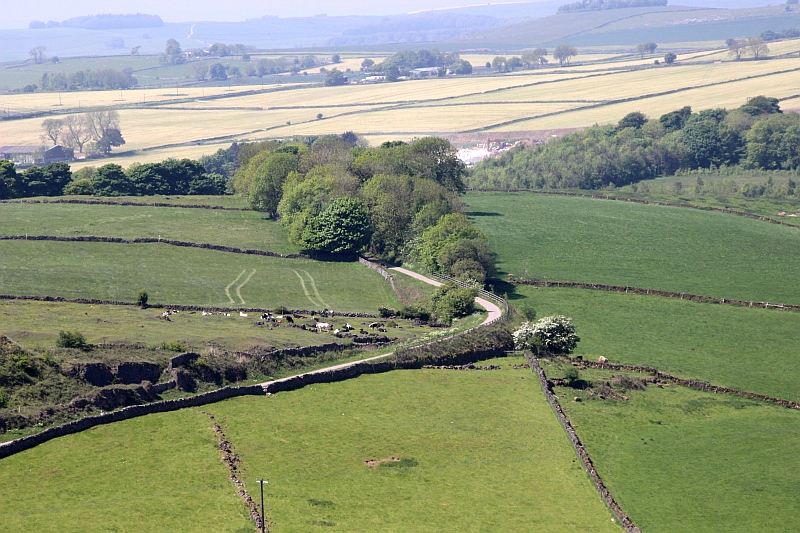
A wider view showing the embankment curve off towards the quarry, which is to the far right. 26th
June 2012.
From Google Earth. You can easily make out the isolated track bed of the quarry line. There is no road by the railway nor beyond the quarry,
except for a gated entrance by Manystones lane that appears no more than a foot/cart path too/from the quarry.
Both above: This would appear to be an entrance to the old quarry. There is mention of a branch siding between Hopton and Longcliffe. This may be it.
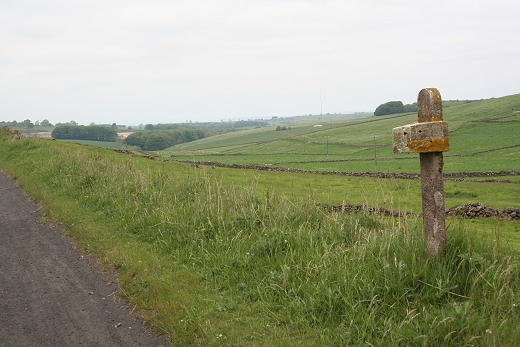
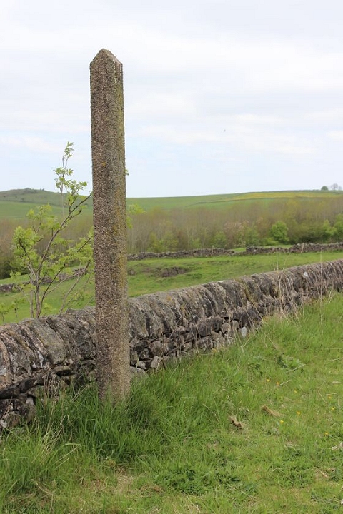
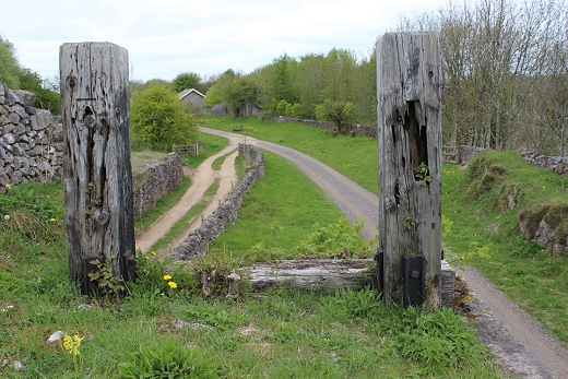
An old milepost and farm gate with the rolling hills running northwards.
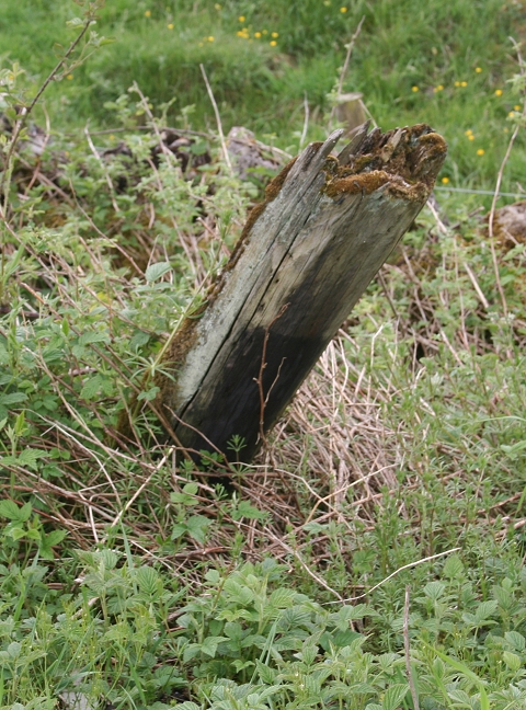
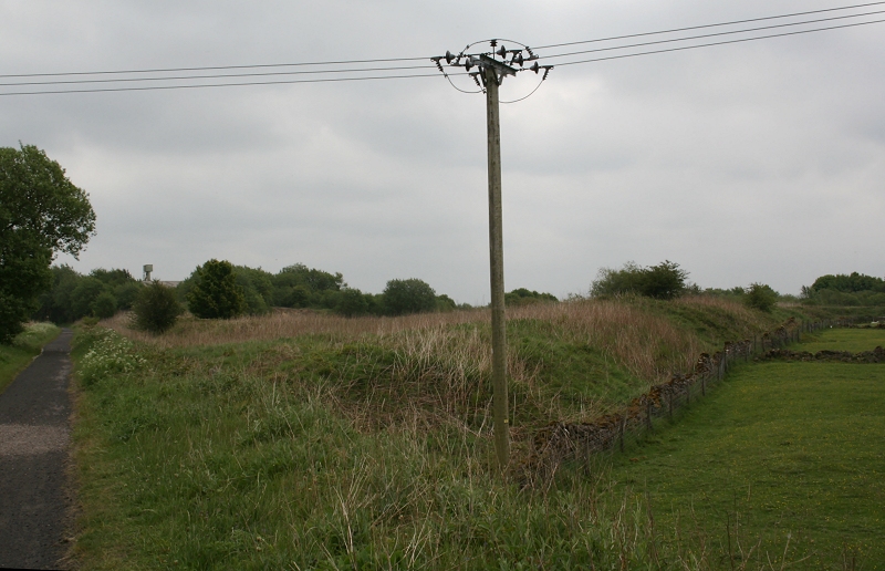
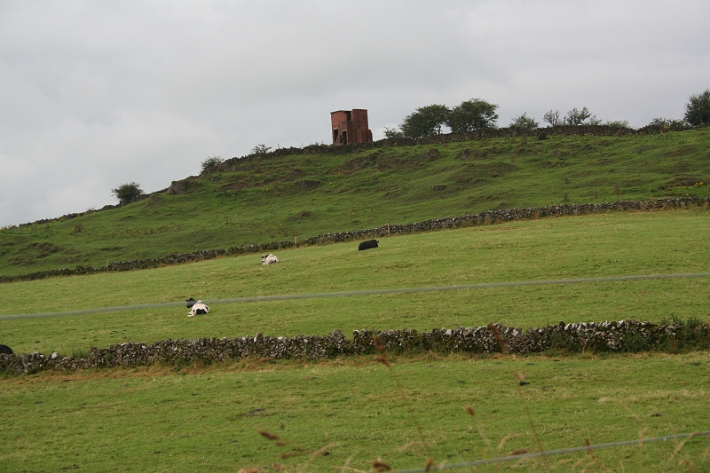
Stump of a telegraph pole.
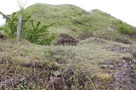
Site of a number of old Kilns. New, 16th May 2016.
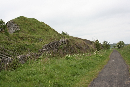
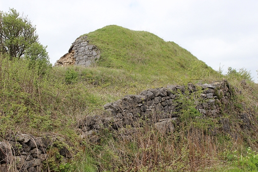
The stone wall on the side of the heap is the remains of a tall Furnace building.
You can just make out the two oven openings that are covered by the undergrowth.
===============================================
The remains of the Kilns from Harborough Rocks Summit. Cropped from a larger image taken with at full 200mm zoom range
29th May 2018.
The Ex C&HPR track bed seen from the small quarry (Far left), past the old Kiln site to the curve into Harborough cutting.
A cropped from the full size image taken from Harboro Rock summit. 29th May 2018.
=================================================================================
Enthusiast Special Close to spot in photo above left. The kiln, top right. The tall kiln building is seen to the right.
(Author Unknown).
The curve into Harboro Cutting as seen from Harboro Rocks summit. A cropped image from the a larger 200mm telephoto view. Minninglow Burial
Ground is just seen top right of center. 29th May 2018.
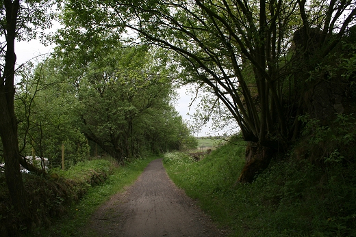
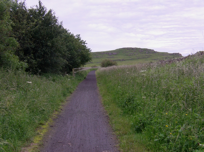
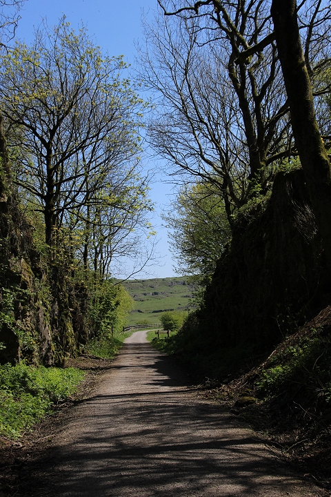
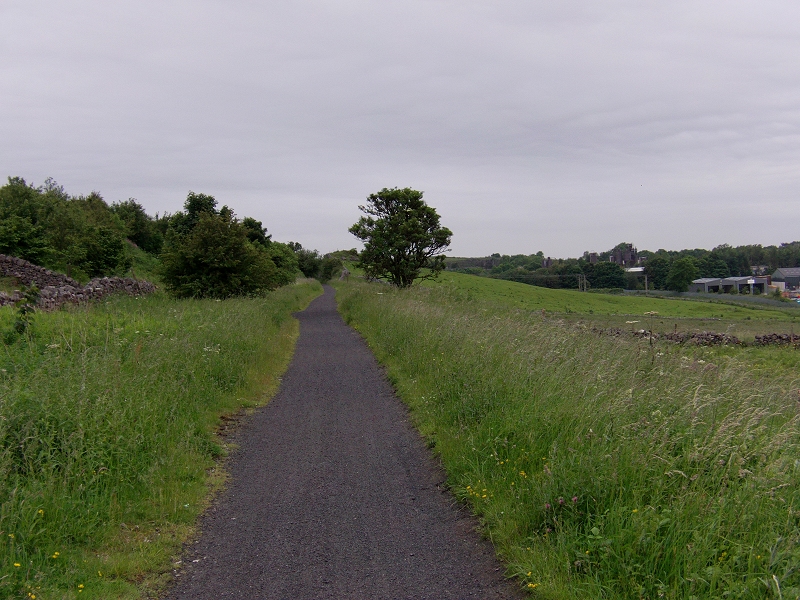
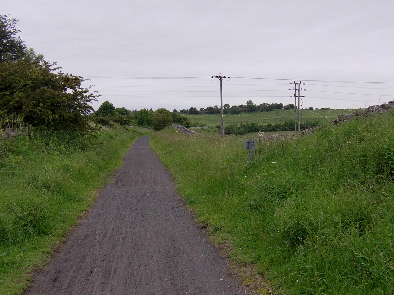
Heading towards Longcliffe Cutting.
This is where I had to to decide whether to try and reach Longcliffe ot turn back. I had walked nearly four hours from
Whatstandwell and it would take as long to return and didn't want to be any later than the 17.46 train to Derby.
As above. Towards Harbouro' Rocks.
About a mile or so south of Longcliffe I decided not to take a chance and to start making my way back to Whatstandwell.
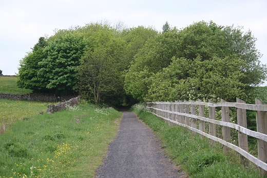
I hope to continue this walk another time. Entrance into Manystones Cutting.
-------------------------------------------------------------------------------------------
The section below comes from my next walk over the Trail that took me into Longcliffe on the 26th June 2012
This time I had forgotten to return the memory card into my SLR after downloading some photos into the computer. I had to use the still image facility on my Samsung HD Camcorder.
I was quite pleased at the results. The problem with digital viewing monitors is being unable to see the image properly when the light is quite bright. That goes for both still image and
video use. It can be quite annoying.
Closer to the wooded area compared to the photo above and the sky was very gray. It was threatening to rain, which it did just as I arrived at Longcliffe.

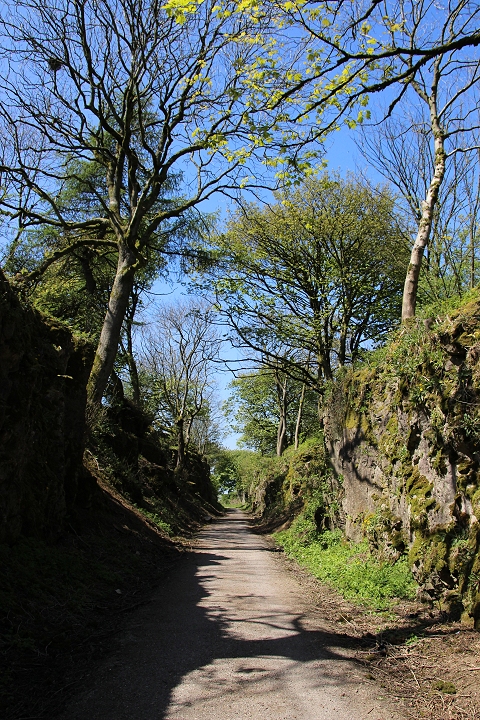
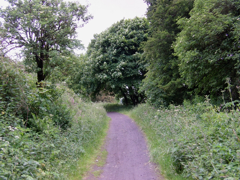
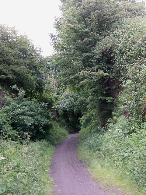
This is a fine stone cutting, which has become quite overgrown. Towards Longcliff.
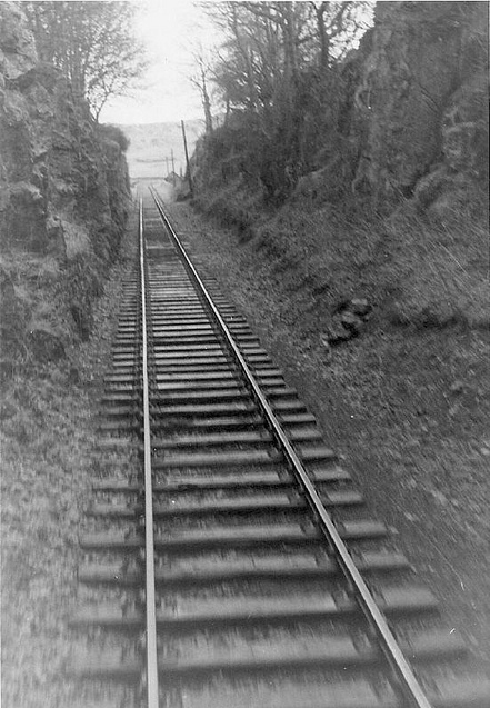
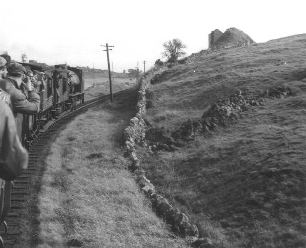
Manystones Cutting. Left: Towards Harboro' Rocks. Right: Longcliffe Cutting in the 60's. (Author Unknown)
Towards Longcliffe. (10th May 2017).
Looking back towards Hopton.
Just leaving the shadow of the cutting at the Longcliffe end.
Looking back through Manystones Cutting. From the same spot above.
Ahead of the wooded cutting. Back towards Hopton.
Gate by the track bed with a farm behind.
The straight between the two stone cuttings, with Longcliffe on the right.
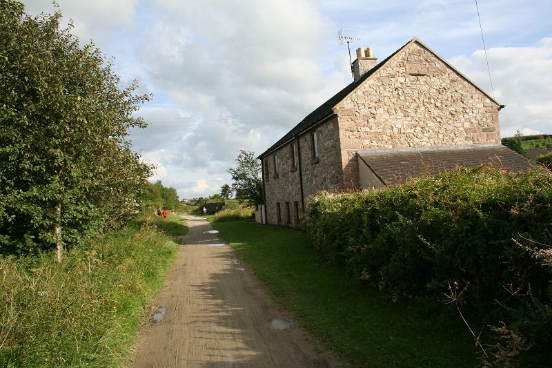
Longcliffe from the track bed. It is a lightly populated area but with numerous stone related industry.
Approaching the north end of Highcliffe Cutting. (16th May 2016).
At the northern end of Highcliffe Cutting looking back towards Hopton.
Ahead of the stone cutting. The track bed did a virtual 90 degree curve to turn towards Longcliffe station.
An old signpost at the north of HighciffeRock Cutting. 16th May 2016.
Site of the quarry spur to the south of Highcliffe. Left: Towards Highcliffe. Right: Towards Hopton. (16th May 2016).
The quarry spur on the 26th Aug. 2012.
On the long straight the factory is facing directly from the east.
Crossing the main road at Longcliffe with the station site to center left. This indicates the sharpness of the curve that the railway took.

From the track bed over bridge, looking directly cross to the site of the old quarry and goods siding, with the station goods shed seen to the
right of center.
On the tight curve approaching the quarry and station sites.
The stone works are now to the immediate right of the track bed, heading northwards.
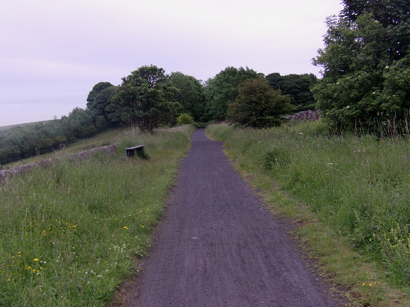
On the straight into Longcliffe, looking back, with the main road bridge and the track bed running back towards Hopton.
Looking back to the rock cutting in the distance. (Both above 26th Aug 2012).
On the western side of the track bed are the remains of an RAF Observasion Site. (26th Aug. 2012).
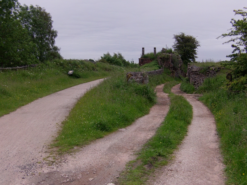
The site of an old quarry and the remains of the goods siding at Longcliffe.
LONGCLIFFE NEW PHOTOS (16th May 2016) 

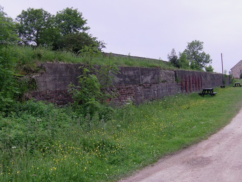
The water wagon ramp. (26th Aug. 2012).
Aproximately the same spot in April 1967. (T. A. Fletcher).
Author Unknown (May be the same as above).
Longcliffe Station Site, from the water wagon ramp. I don't know if there was an actual spur into the small quarry, on the left. (16th May 2016).
Tourist Board and Stop blocks. (16th May 2016).
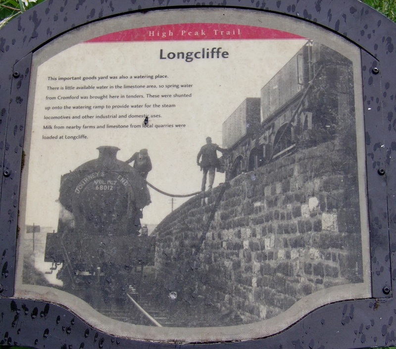
On the final weeks of the railway before closure in 1967. The writing on the Saddle Tank says it all! (26th Aug. 2012).
It looks as if there had been a spur into the quarry but I have not sen on shown on any map! (26th Aug. 2012).
The station site. (26th Aug. 2012).
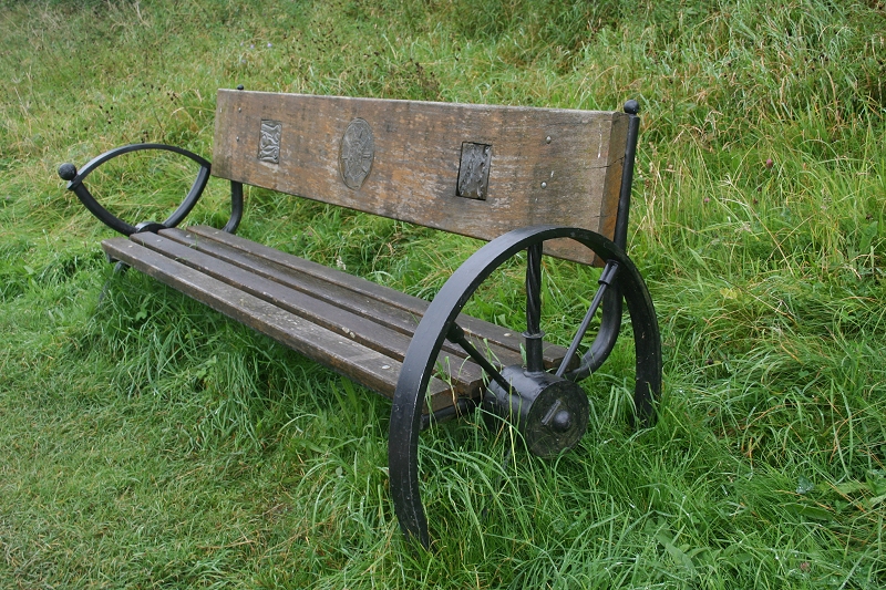
Interesting 'station'! chair (26th Aug. 2012).
The station site, towards Hopton. (16th May 2016).
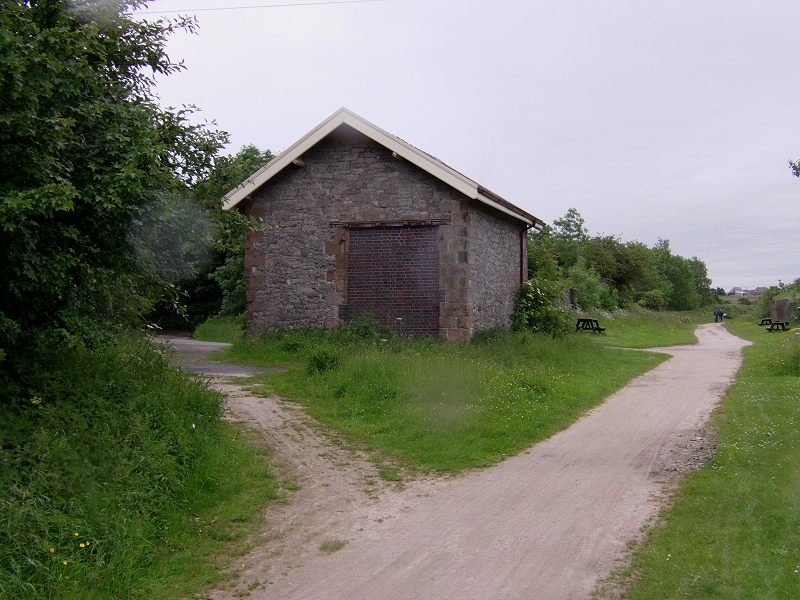
Highcliffe station site. (16th May 2016).
Highcliffe station site, with Station house and Goods Shed. (16th May 2016).
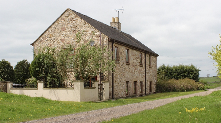
Station House. (16th May 2016). The window seen through the trees on the left was the the door to the Horse's barn.
The station house to the left' The barn doors where the Horses were kept is seen. small quarry is also seen. It s interesting that a mix
of wagons was in use rather than just the usual stone wagons. (Video Grab).
Track bed of the Coldwell's Goods Spur went off to the left.
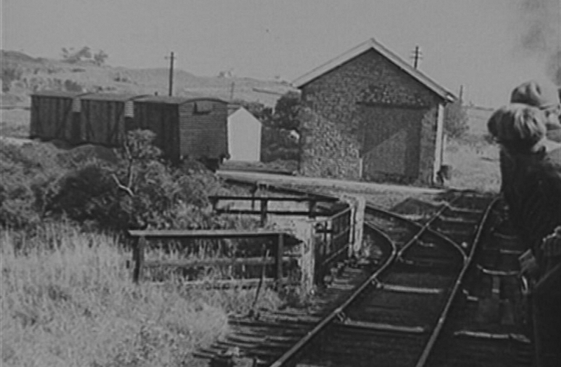
The goods shed with the quarry and Coldwell's siding spur with wagons standing on the track. (Video screen grab).
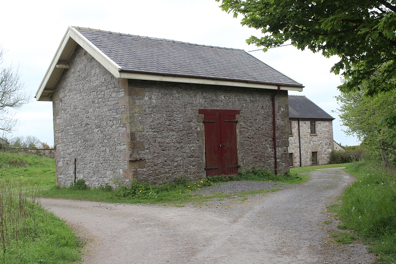
Reverse view as above. Goods Shed from the Spur track bed. (16th May 2016).
The branch went through these gates but is now fenced off and there is nothing to be seen were the branch ended.
Left: The entrance into the spur beyond this point is shut off. (16th May 2016). There was a reverse point here that led back down to the siding and the
coal bay.
The coal loading bay. By the entrance to the station site. Wagons were backed down into this line. The spur ran in front of the Goods She
seen within the trees, that went to the quarry, but bay line came back of that on a tight curve.
Longcliffe station house looking back towards the old station site. (26th Aug 2012).
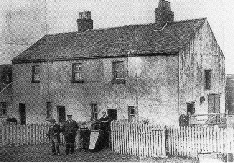
Highcliffe Station House. c1890. On the right is the stable doors where the Horses were kept.
Looking over the road bridge at he north end of the station site. Left: Towards station entrance. Right: Looking southwards.
On the over bridge looking back towards Hopton and the station site.
Next, we go from Longliffe to Minninglow and see the two massive Stone Embankments, station site then on to Gotham Curve.
=====================================================
My Thanks To.....
John Neave for his kind permission to use a number of his 1960's photographs when the railway was still in operation. Check out John's ''Going Loco'', which includes a C&HPR history. At....
http://goingloco.neave.com/Mark Norton for the use of 1940's photos by his late father Dennis J. D. Norton.
http://www.photobydjnorton.com/CHPR_Menu.html#LinksReading: The Cromford & High Peak Railway by John Marshall. Published by Martin Bairstow. Printed by The Amedeus Press 2011.
The Cromford & High Peak Railway by Alan Rimmer.Other Railway Walks....
The Dundee & Newtyle Railway The first passenger railway in Scotland opened in 1831, which had three inclines operated by stationary steam engines. The main source of income was from
the numerous stone quarries in the area and local farming produce. Passenger numbers were always sparse.
The inclines were abandoned in the mid 1800's by new deviations that allowed through locomotive running.
The line also included the Dundee Law (Hill) tunnel built at 300ft above the City. Both the north & south portals of the tunnel are buried below modern housing schemes.
Passenger services ended in 1955 and the line closed completely in the mid 60's.
Unlike the C&HPR none of the Engine houses were preserved. The inclines can still be followed but sections have been back-filled or ploughed over
This web site tries to cover as much as possible.Boddam To Ellon Branchline Built by the GNSR in the latter part of the 20th century. The passenger service only lasted until 1934 but goods remained up to total closure in 1949.
The GNSR built a large Golf course and Hotel at Cruden Bay, with an electric tramway between the station and hotel. All that remains today is the Golf course.
Dyce to Fraserburgh and Peterhead Walking the complete route of over 50 miles, that I worked on as a second man betwen 1963/4. It is a walking, cycling and Horse riding trail.Other web pages....
Kittybrewster Memories. Kittybrewster Loco Depot, Aberdeen.
Tivoli Memories The Tivoli Theatre, Aberdeen.
Hosted by www.theatreorgans.com